The role of state and manorial cartography in rural society: comparing the Banat and the Kingdom of Hungary (1750–1850)
 6. 3. 2024
,
16:00
6. 3. 2024
,
16:00  sál č. 205, Akademie věd ČR, Národní 3, Praha 1
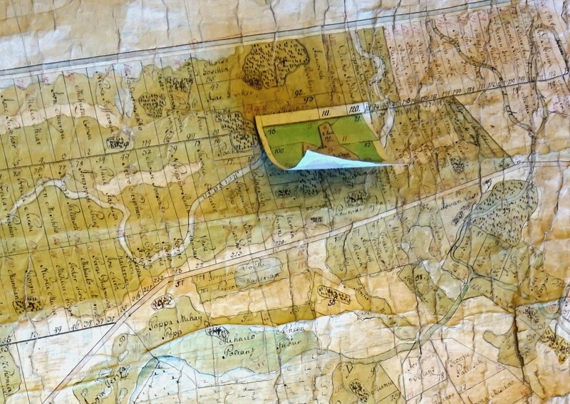
Přednáška Benjamina Landaise (Avignon Université) The role of state and manorial cartography in rural society: comparing the Banat and the Kingdom of Hungary (1750–1850), pořádanou Historickým ústavem AV ČR, v. v. i., Filozofickou fakultou UK s Avignon Université s podporou programu Erasmus+, se bude konat 6. března 2024 od 16:00 v sále č. 205 v Akademii věd ČR, Národní 3 (Praha 1).
Despite the absence of cadastral survey, regardless of Joseph II‘s abortive initiative, maps were proliferating in the Hungarian countryside. The large estates had the means to recruit their own engineers. Maps played a role in securing property titles, beautifying aristocratic residences and modernising agriculture. More surprisingly, they also accompanied experiments in peasant land registration and agrarian reform. These undertakings were most advanced in Banat, where Bohemian and Austrian surveyors adopted administrative and economic patterns from the western Habsburg Monarchy.
Kontakt: vokurka@hiu.cas.cz
6. 3. 2024
,
16:00
sál č. 205, Akademie věd ČR, Národní 3, Praha 1 