Historical Atlas of Czech Towns
 The portal provides information about the project Historical Atlas of Towns of the Czech Republic, which since 1995 has been presenting the development of selected urban settlements in Bohemia, Moravia, and Silesia to both professional and general audiences through individual volumes. It does so by means of historical maps, vedute, old photographs, aerial images, as well as reconstruction maps and models accompanied by textual commentary. The individual atlas volumes are prepared in accordance with the framework rules set by the European Commission for the History of Towns. The portal gradually introduces the individual volumes, offers online detailed lists of maps, plans, and illustrations with the signatures of the originals held by memory institutions, and provides the imprint and summary. For selected towns, map applications have been developed, showing their spatial growth in certain periods. The complete map and image material contained in the published atlases, including the texts, is not made accessible due to copyright law. The atlas is used in the study of the development of urbanization processes in the Czech lands and the history of towns and municipalities, in heritage conservation, in the active protection, revitalization, and creation of the landscape, as well as in educational and popularization activities, among other uses.
The web portal can be accessed at: http://towns.hiu.cas.cz/en/, printed atlases can be borrowed for use in the reading room without advance reservation.
Contact
Prof. PhDr. Eva Semotanová, DrSc.
email: semotanova@hiu.cas.cz
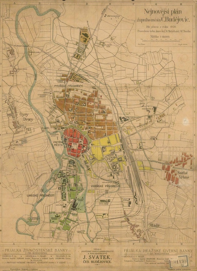
Fig. Plan of České Budějovice as a county city after 1920. © Map collection of the Institute of History of the Czech Academy of Sciences.
